
Surveying has traditionally been a labor-intensive and time-consuming task, involving manual measurements, complex equipment, and significant on-site presence. With the rapid advancement in aerial technologies, these limitations are being redefined. The use of drones for surveying has introduced unmatched efficiency, and the central driving force behind this shift is modern drone software.

This blog outlines how drone software is reshaping modern surveying practices by improving data accuracy, accelerating project timelines, and reducing operational risks. It also explains how features like drone orthomosaic generation have become essential tools in industries that rely on precise spatial data.
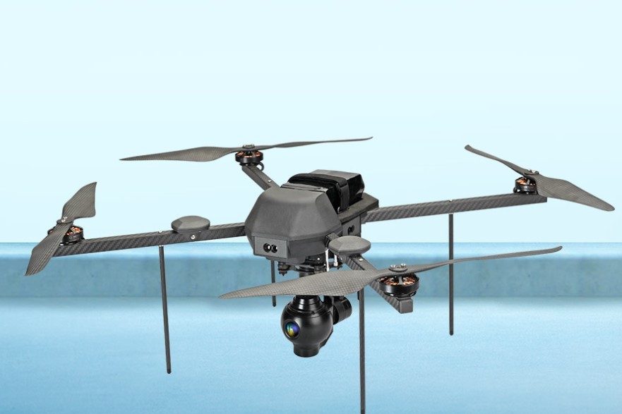
What Is Drone Software?
Drone software refers to the programs used to control drone flight, manage data collection, and process aerial imagery into actionable insights. These platforms may be used for mission planning, automated flight paths, real-time monitoring, and post-processing of collected data. They serve as the bridge between raw imagery and usable outputs such as 3D terrain models, measurements, and maps.
There are generally three key functions within modern drone software:

Flight Control and Automation: Pre-programmed routes for consistent coverage.
Data Collection and Storage: Handling images, videos, and sensor information during flights.
Image Processing and Analysis: Creating maps, models, and analytics dashboards from the raw data.
Whether used in agriculture, construction, or infrastructure development, the software plays a vital role in converting drone data into operational insights.
Advantages of Drone Software in Surveying
Using drones in surveying isn't just about flying a machine overhead. The real value lies in how the collected data is managed and interpreted. This is where high-quality drone software becomes critical.
Key Benefits Include:
Faster Turnaround: Surveys that previously took days or weeks can now be completed in hours.
Improved Accuracy: Automated flight paths and georeferenced outputs reduce human error.
Cost-Effective: Less need for field teams and expensive ground-based survey equipment.
Versatile Output Formats: From 2D maps to 3D models and contour lines, the software offers diverse deliverables.
Safety: Allows for surveying of hazardous or inaccessible sites without putting personnel at risk.
These advantages make drones with advanced software indispensable for modern-day surveyors and engineers.
Understanding Drone Orthomosaic Maps
One of the most valuable outputs produced using drone software is the drone orthomosaic — a high-resolution, georeferenced map created by stitching together multiple aerial photographs. Unlike standard images, orthomosaics are geometrically corrected to provide an accurate scale, free of distortions caused by topography or camera tilt.
How Drone Orthomosaics Are Made
Flight Planning
A drone is set to fly over a designated area using automated flight routes, ensuring image overlap for seamless stitching.
Image Capture
The drone collects hundreds or thousands of images during the flight, each tagged with GPS coordinates.
Data Processing
The software uses algorithms to align, correct, and merge the images into a single continuous map.
Export and Analysis
The final orthomosaic is exported in formats compatible with CAD, GIS, or BIM systems for further analysis.
The drone orthomosaic becomes a foundational layer for site evaluation, planning, and design — providing centimeter-level precision in large-scale projects.
Industries Benefiting from Orthomosaic Mapping

Orthomosaic maps have proven indispensable in a variety of sectors:
Construction
Project managers and civil engineers use them for monitoring site progress, measuring earthworks, and comparing as-built conditions to original plans.
Agriculture
Farmers analyze crop health and field conditions using orthomosaics derived from multispectral imagery. These maps help in identifying irrigation issues, pest outbreaks, and yield anomalies.
Urban Planning
Municipal authorities use orthomosaics for land-use planning, zoning updates, and infrastructure development. They also support environmental assessments and permit applications.
Environmental Monitoring
Conservationists track changes in vegetation cover, coastline shifts, or erosion patterns over time using sequential drone maps.
Mining
Mine operators use orthomosaics to monitor excavation progress, estimate stockpile volumes, and ensure safety compliance.
Each of these applications benefits from the speed and accuracy of drone software integrated with orthomosaic mapping capabilities.
Best Practices for Generating Accurate Orthomosaics
Creating high-quality orthomosaics involves more than flying a drone and stitching images. Attention to detail in the following areas is essential:
Flight Altitude: Higher altitudes cover more ground but may reduce image resolution.
Image Overlap: Ensuring at least 70% forward and 60% side overlap helps in accurate stitching.
Lighting Conditions: Consistent sunlight reduces shadow-related distortions.
Ground Control Points (GCPs): Used to increase geospatial accuracy when precise measurements are needed.
Camera Calibration: Ensures that image distortions are corrected during processing.
By following these guidelines, users can produce orthomosaic maps that are reliable enough for technical evaluations and regulatory compliance.
Integration with GIS and CAD Tools
Modern drone software often supports direct export to industry-standard platforms such as Geographic Information Systems (GIS) and Computer-Aided Design (CAD) tools. This integration makes it easier for professionals to move seamlessly from aerial data collection to actionable planning and design workflows.
For example, an engineer can import an orthomosaic into a CAD system to plan drainage layouts. A city planner might use the same map within a GIS application to layer demographic or zoning data. This interoperability enhances the value of drone-collected data across disciplines.
Conclusion
The rise of drone software has fundamentally changed how surveys are conducted, replacing traditional methods with faster, safer, and more precise processes. Among the most significant outputs is the drone orthomosaic, which enables accurate site assessments, design planning, and ongoing monitoring across industries.
Whether you're in construction, agriculture, or environmental management, the use of aerial technology is no longer a luxury — it’s a practical necessity for competitive operations. Companies seeking high-quality drone solutions can look to Asteria Aerospace, a pioneer in delivering cutting-edge systems that meet modern surveying demands.